FAA weather cameras
Aviation weather cameras run by the Federal Aviation Administration across Alaska. Several look straight at volcanoes.
The Federal Aviation Administration runs a network of weather cameras across Alaska, where much of the territory has no roads and small aircraft are everyday transport. The cameras sit at airports, mountain passes and remote airstrips, and pilots use them to see the actual weather along a route before taking off.
Each camera publishes a fresh image every few minutes, next to a clear-day reference photo that shows what the same view looks like with good visibility. The images are public works of the United States government, free to use.
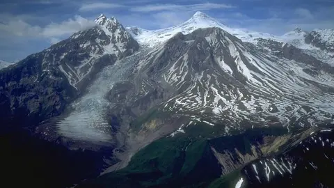
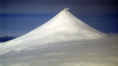
Some of those cameras happen to point straight at volcanoes, and the Alaska Volcano Observatory uses them as part of its own monitoring. On this site they provide the distant views of Shishaldin from Cold Bay and of Mount Spurr from Anchorage, among others. They are not designed for scenery, which is part of their charm: they show the Alaskan weather exactly as it is, including the days when there is nothing to see at all.
Volcanoes with FAA weather cameras cams

FAA weather cameras in numbers
- Cams
- 3 cams · 3 places · United States
- How you watch them
- 3 as still images (refreshed every 5 minutes)
- Right now
- 3 of 3 broadcasting
- Terms
- Public domain (U.S. Government work)
Website: weathercams.faa.gov.