South America volcano cams
The Andes run the length of the continent and this page now follows them from the equator to Patagonia: Cotopaxi, Sangay and El Reventador in Ecuador, Nevado del Ruiz in Colombia, and four more two thousand kilometres south, on and around the Argentina-Chile border.
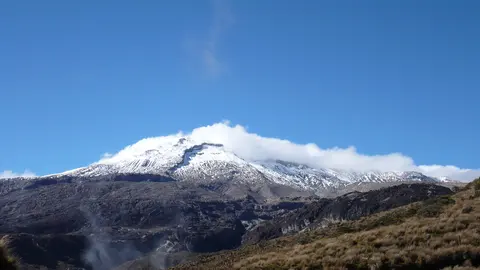
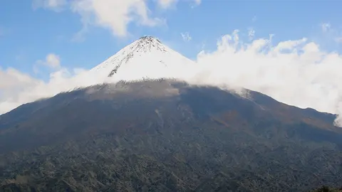
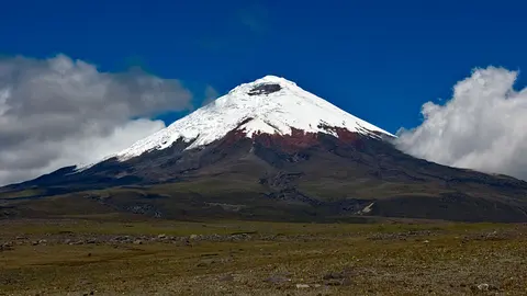
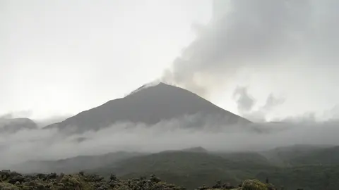
Photos: El Reventador: DonValentino, CC BY-SA 3.0 · Sangay: Albert Backer, CC BY 2.5 · Nevado del Ruiz: Edgar from Ibagué, Colombia, CC BY-SA 2.0 · Cotopaxi: Gerard Prins, CC BY-SA 3.0.
Volcanoes on the edge of the Amazon
Sangay and El Reventador both rise on the eastern side of the Andes, where the mountains drop into the Amazon rainforest. Both erupt for years at a time, with frequent explosions of ash and, at times, glowing lava on their slopes. Clouds from the rainforest hide them much of the day, so clear mornings are the moments to watch.
Sangay is the more remote of the two: it stands inside a national park with no road to it, has been erupting on and off since the 1930s, and is one of the few volcanoes anywhere where a plume is more often present than absent. El Reventador — the name means "the one that bursts" — woke up in 2002 with an eruption that dropped ash on Quito, 90 kilometres away, and has not really stopped since.
Ice on the equator
Cotopaxi is the odd one out here, and the one most people have heard of: a symmetrical cone of 5,897 metres with a glacier on top, an hour south of Quito. Its danger is not the eruption itself but what the eruption does to the ice. Meltwater turns to lahars, fast rivers of mud and rock that follow the valleys for tens of kilometres, and in 1877 they reached both the Pacific and the Amazon basin. It has thirteen monitoring cameras on it, including infrared ones that see the cone through haze.
The volcano that changed volcano warnings
Nevado del Ruiz is remembered for the disaster of 1985, when mudflows from its melting glaciers buried the town of Armero. The warnings that day existed but did not reach the people who needed them, and the lesson — that hazard maps are only useful if they are acted on — reshaped how observatories communicate everywhere. Today it is one of the most closely monitored volcanoes in Latin America, watched by the Servicio Geológico Colombiano; Ecuador's volcanoes are watched by the Instituto Geofísico of the national polytechnic school in Quito.
The southern Andes, watched from Argentina
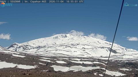
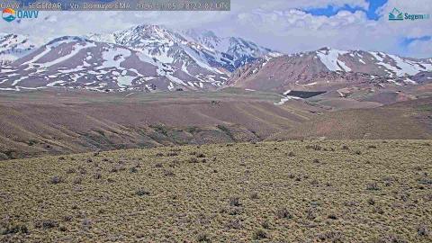
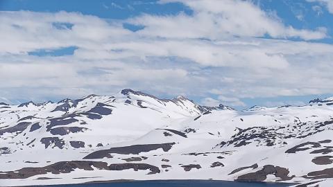
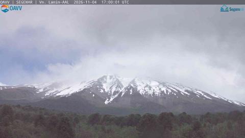
The four southernmost here come from the Argentine volcano observatory, which keeps cameras on ten volcanoes and is the reason this part of the continent is covered at all. Copahue has a lake of acid in its crater and a river below it named the Sour River. Lanín is the cone everyone pictures, standing alone above araucaria forest on the border. Domuyo, the highest peak in Patagonia, has never erupted in recorded history and yet boils water all around its base. And Laguna del Maule, just over the border in Chile, is a lake in a caldera whose floor is rising about twenty centimetres a year — among the fastest volcanic uplift measured anywhere on earth.
More to come
Peru and Chile have national observatories and many active volcanoes — Sabancaya, Ubinas, Villarrica, Láscar — but at the time of writing none of them publishes camera images that can be shown here. We will add them as soon as that changes. If you know of one, tell us.
Ecuador and Colombia are five hours behind UTC all year, with no daylight saving, and sit almost on the equator: sunrise and sunset barely move through the year, both falling close to six o'clock.