Nature Live Cams

Sangay live cam

No recent report Stratovolcano in Morona Santiago, Ecuador

Sangay above the rainforest

Source: afarTV

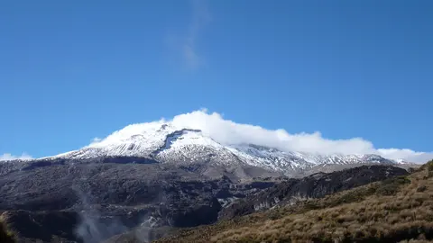
The snow-capped cone of Sangay in 4K, rising straight out of the Amazon rainforest.

Sangay is a snow-capped cone 5,286 m (17,343 ft) high on the eastern edge of the Ecuadorian Andes, where the mountains drop into the Amazon rainforest. It is one of the most persistently active volcanoes on Earth, with eruptions recorded since 1628 and a new eruptive phase that began in 2019.

Sangay right now

Activity

No recent report

No automatic alert feed for this volcano. The observatory links below carry the latest reports.

Local time

–

Sunset at 6:02 pm, in 7 h 28 min.

Clouds over the summit

Mostly cloudy

84% cloud cover. Clearest in the next 24 hours: around 3:00 pm (49%).

At the summit

1 °C (35 °F)

Wind 13 km/h (8 mph) from the E.

Forecast model values for the summit area from MET Norway, updated 15:32 UTC. Not a measurement.

Is Sangay erupting right now?

No eruption reported. Nothing has been reported for it in recent weekly volcanic activity reports from the Smithsonian and USGS. Checked November 5, 15:32 UTC.

Earthquakes near Sangay

No earthquakes large enough to appear in the international catalogue have been recorded within 30 km (19 mi) of the summit in the last 30 days.

Source: EMSC. Updated November 5, 13:32 UTC. EMSC combines the catalogues of national seismic networks, but it mostly lists earthquakes large enough to be reported internationally; many small volcanic earthquakes are not included. Small earthquakes are common under active volcanoes and do not by themselves mean an eruption is coming.

What you can see on the Sangay cams

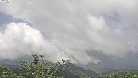
The livestream looks at the cone across the forested foothills. On clear days you can see plumes of ash and gas rising from the summit and, when activity is strong, dark streaks of debris and lava on the upper slopes. At night, glowing material can light up the top of the cone.

A remote giant

Sangay stands deep inside Sangay National Park, a UNESCO World Heritage site since 1983, with no settlements close to its summit. Its remoteness means it rarely threatens people directly, but ash carried west by the wind has fallen on distant towns and cities, including Guayaquil, and mudflows have travelled down the valleys of the Volcán and Upano rivers.

When to watch Sangay

Clouds from the Amazon wrap the volcano much of the time, so every clear spell is worth catching; early mornings are usually best. Ecuador is five hours behind UTC all year.

Around Sangay

The national park stretches from glaciers above 5,000 m down to lowland rainforest and shelters spectacled bears, mountain tapirs and Andean condors. Macas, the capital of Morona Santiago province, is the main town on the eastern side, and on clear days the volcano can be seen from there. To the west lie the city of Riobamba and Chimborazo, Ecuador’s highest mountain.

Visiting Sangay

Reaching the foot of Sangay takes several days of hiking through wet forest and páramo, and climbing it is dangerous because of its frequent explosions. Most visitors see it from a distance or from the air. Check the reports of Ecuador’s Geophysical Institute before planning any trip.

Volcano cams near Sangay

Sangay on the map

More volcano cams in South America