Hawaii volcano cams
The Hawaiian Islands are the tops of huge volcanoes rising from the floor of the Pacific. Four of them are here: Kīlauea and Mauna Loa, two of the most active volcanoes on Earth; Mauna Kea, the dormant giant whose summit is covered in telescopes; and Haleakalā, which forms most of the island of Maui.
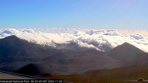
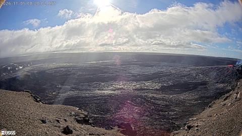
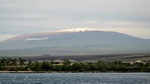
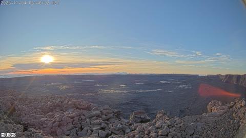
Photos: Mauna Kea: Vadim Kurland, CC BY 2.0.
Why Hawaii has the best volcano cams
The USGS Hawaiian Volcano Observatory has watched Kīlauea since 1912 and runs one of the densest camera networks of any volcano: livestreams on the rim of Halemaʻumaʻu crater, thermal cameras that see through fume, and still cams along the rift zones. When Kīlauea erupts, these are usually the first images anyone sees.
On Mauna Kea and Haleakalā, the cams belong to the observatories and the national park on the summits. By day they look over a sea of clouds; at night they show one of the clearest skies on the planet.
Shield volcanoes behave differently
Nothing here looks like the steep cone most people picture. Hawaiian volcanoes are shields, built up by runny lava that travels far before it cools, so their slopes are gentle and their eruptions usually pour rather than explode. That is why the cameras can be placed on the crater rim at all. Mauna Loa is the largest of them by volume of any volcano on earth, and erupted in 2022 after 38 years of quiet. Kīlauea, lower and younger on its flank, has been the more active of the two for decades, and the floor of its summit crater has collapsed and refilled within living memory.
When to watch
Hawaii is 10 hours behind UTC and doesn't use daylight saving time, so the evening glow of an eruption reaches Europe in the early morning and the US mainland late at night. The trade winds usually keep mornings clearest at the summits; cloud builds up the slopes through the afternoon. Snow falls on Mauna Kea most winters, high enough above the cloud that the summit cameras often show it under a completely clear sky.