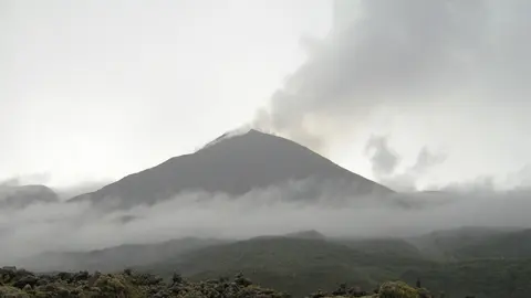
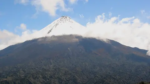
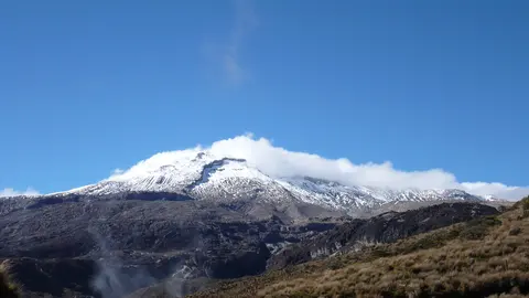
What you can see on the Cotopaxi cam
The camera stands on the hill of Putzalahua, south-west of the volcano, at a monitoring station of the national geophysical institute. It takes in the whole cone across the high páramo, with the snow line and the dark rock below it, so a plume from the summit crater shows clearly against the sky. It is not a video stream: what arrives is a short loop of recent frames, renewed through the day, which is enough to tell whether the summit is clear and whether anything is rising from it. The same station carries an infrared camera pointed at the same view, and the institute has thirteen cameras on this volcano in all — more are listed on its own page, linked below.
The volcano and the ice
Cotopaxi has erupted more than fifty times since the sixteenth century, and its most destructive eruptions worked through water rather than lava. Melting glacier ice sends lahars — fast rivers of mud and rock — down the valleys on three sides, and in 1877 they reached the Pacific on one side and the Amazon basin on the other. The towns and farmland along those valleys are the reason the volcano carries one of the densest monitoring networks in South America: thirteen cameras, seismometers, gas sensors and a lahar warning system.
The volcano woke in August 2015 with ash explosions after almost 140 years of quiet, and was restless again through 2022 and into 2023, dusting Quito and the surrounding provinces with fine ash.
When to watch Cotopaxi
Ecuador is five hours behind UTC all year, with no daylight saving, and sits almost on the equator: it gets light around six in the morning and dark around six in the evening, every day of the year. Early morning is by far the best time — the cone is usually clear then, and cloud builds against it from mid-morning. The drier months, June to September and December to January, give the most clear mornings.
Around Cotopaxi
Cotopaxi National Park surrounds the mountain, with the Limpiopungo lagoon on the plain below it and wild horses on the páramo. Quito is 50 kilometres north, and the Avenue of the Volcanoes — the corridor between the two Andean ranges — links Cotopaxi with Antisana, Chimborazo and Tungurahua.
Visiting Cotopaxi
A road climbs to a car park at 4,600 metres, and a steep walk of about an hour reaches the José Ribas refuge at 4,864. Going higher means a guided climb on the glacier at night. The altitude is the real difficulty, and the park closes sections whenever the alert level rises.