Alaska Volcano Observatory cams
A joint program of the USGS, the University of Alaska Fairbanks Geophysical Institute and the Alaska Division of Geological & Geophysical Surveys.
The Alaska Volcano Observatory is a partnership of three bodies: the USGS, the Geophysical Institute of the University of Alaska Fairbanks, and the Alaska Division of Geological & Geophysical Surveys. Set up in 1988, it keeps daily watch on the 52 Alaskan volcanoes known to have been active in historical times.
Why the priority here is aviation
Alaska's volcanoes sit under the great-circle air routes between North America and Asia. On an average day, around 200 flights and some 20,000 passengers pass over or just downwind of them, and the hazard is not lava but ash, which melts inside a jet engine and stops it.
That is not theoretical. In December 1989, a Boeing 747 flew into the ash cloud of Mount Redoubt on its way into Anchorage and lost all four engines. It fell more than four kilometres before the crew restarted them and landed safely. The observatory was a year old at the time, and the episode settled what it was for.
Cameras in places with nobody in them
Most of these volcanoes have no town within sight. The cameras stand on remote islands and ridges, several of them reachable only by helicopter, and send a fresh still every few minutes through the USGS Ashcam system. Alongside the usual alert level, each Alaskan volcano carries an aviation colour code — green, yellow, orange or red — and both appear on its page here.
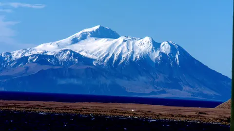
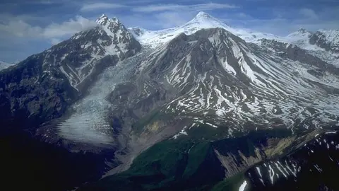
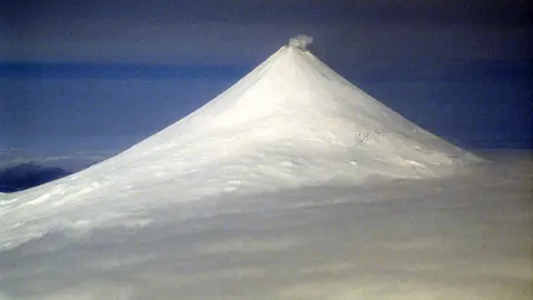
Volcanoes with Alaska Volcano Observatory cams


Alaska Volcano Observatory in numbers
- Cams
- 7 cams · 5 places · United States
- How you watch them
- 7 as still images (refreshed every 5 minutes)
- Right now
- 7 of 7 broadcasting
- Terms
- Public domain (images distributed by the USGS)
Website: avo.alaska.edu.