
Nature Live Cams

Augustine Volcano live cams

Quiet Lava dome complex in Alaska, United States

Live image of Augustine Volcano: Augustine from Homer

Augustine from Homer

Source: Alaska Volcano Observatory

From the town of Homer, looking south-west across Cook Inlet to the island volcano, about 105 km (65 mi) away.

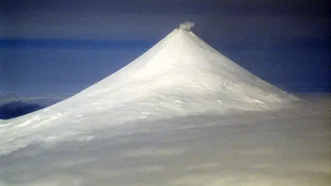
Augustine is an island volcano in lower Cook Inlet, about 280 km (175 mi) southwest of Anchorage. The whole island is the volcano: a steep lava dome complex 1,252 m (4,108 ft) high, surrounded by the debris of its past eruptions.

Augustine Volcano right now

Activity

Quiet

USGS alert level: Normal, aviation color code green. Latest notice

Local time

–

Sunrise at 8:41 am, in 3 h 29 min.

Clouds over the summit

Overcast

100% cloud cover. Clearest in the next 24 hours: around 6:00 pm (78%).

At the summit

-1 °C (30 °F)

Wind 35 km/h (22 mph) from the N.

Forecast model values for the summit area from MET Norway, updated 14:02 UTC. Not a measurement.

Is Augustine Volcano erupting right now?

No. The USGS alert level is Normal (aviation color code green). Checked November 4, 14:02 UTC.

When did Augustine Volcano last erupt?

Recent eruptions: 1976, 1986 and 2006.

Earthquakes near Augustine Volcano

0 in the last 24 hours, 4 in the last 7 days and 19 in the last 30 days, within 30 km (19 mi) of the summit. The largest was magnitude 3.1 on November 2.

Oct 6: 0Oct 7: 1Oct 8: 2Oct 9: 0Oct 10: 0Oct 11: 1Oct 12: 1Oct 13: 0Oct 14: 1Oct 15: 0Oct 16: 1Oct 17: 2Oct 18: 0Oct 19: 1Oct 20: 0Oct 21: 2Oct 22: 0Oct 23: 2Oct 24: 0Oct 25: 0Oct 26: 0Oct 27: 0Oct 28: 1Oct 29: 0Oct 30: 0Oct 31: 1Nov 1: 0Nov 2: 3Nov 3: 0Nov 4: 030 days agoToday
Earthquakes per day. Busiest day: 3.
When (UTC)MagnitudeDepthDistance
Nov 2, 13:403.1109 km5 km
Nov 2, 13:230.80 km0 km
Nov 1, 23:471.9107 km24 km
Oct 30, 19:411.9117 km17 km
Oct 27, 16:000.80 km0 km
Oct 23, 04:272.4120 km19 km

Source: U.S. Geological Survey. Updated November 4, 14:02 UTC. Small earthquakes are common under active volcanoes and do not by themselves mean an eruption is coming.

What you can see on the Augustine cams

The cams show the island from Homer, across lower Cook Inlet, and up close from the island’s shore, looking at the summit domes. From Homer the whole island sits on the horizon on clear days.

The cone of Augustine, close up from its own island

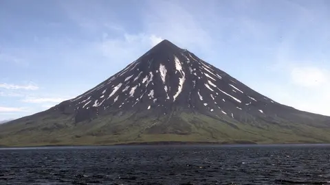
This camera stands on Augustine Island itself, in Cook Inlet, about 5 km from the summit, and the cone fills the frame: a near-perfect, symmetrical volcano, its upper slopes white with snow and streaked by gullies, its lower slopes brown with old ash and pumice. A cap of cloud often sits on the summit dome.

Augustine is the most active volcano in the Cook Inlet region, with explosive eruptions in 1976, 1986 and 2006. The island is uninhabited, so cameras like this one are the closest anyone keeps watch.

Eruptions of Augustine

Augustine is the most active volcano in the Cook Inlet region, with major eruptions in 1976, 1986 and 2006. In each, explosive blasts sent ash high enough to disrupt flights, and hot avalanches of rock and gas swept down the flanks to the sea. Each eruption ended with a new lava dome at the summit. Its eruptions typically begin after weeks to months of increasing earthquakes, which the Alaska Volcano Observatory tracks closely.

When to watch Augustine

The Homer cam needs clear air across the whole inlet, which is most common on cold, calm winter days and in early spring. Both cams depend on daylight.

Around Augustine

Homer, at the end of the road on the Kenai Peninsula, looks out across Kachemak Bay and Cook Inlet. On clear days, the view from its bluffs takes in Augustine and, further north, Iliamna and Redoubt. To the southwest lies Katmai National Park, where the 1912 eruption of Novarupta was the largest of the 20th century.

Visiting Augustine

Augustine Island is uninhabited and has no facilities, so the only practical way to see it up close is from a boat or a small plane. From Homer, the view across the inlet is free and easy on any clear day.

Volcano cams near Augustine Volcano

Augustine Volcano on the map

More volcano cams in Alaska