What you can see on the Volcán de Fuego cams
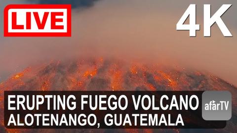
The livestream is pointed at the summit. By day you can see puffs of grey ash rising from the crater after each explosion. At night, glowing blocks roll down the upper slopes, and during stronger phases lava fountains and flows light up the cone.
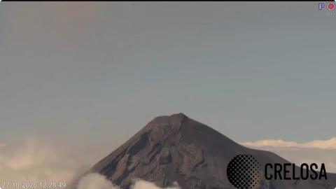
Fuego across the valley from the crater of Agua
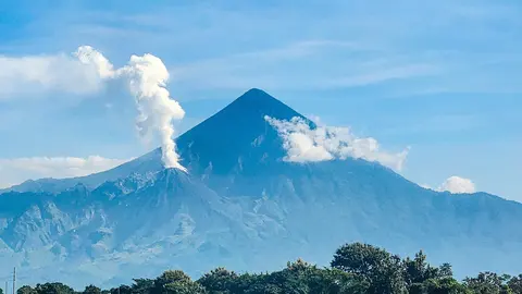
This camera stands on the crater rim of Agua, the quiet cone on the far side of the Antigua valley, and looks west across about 15 km of open air to Fuego. From up here, at almost the same height as its summit, the bare grey cone rises clear above the clouds that fill the valley on many mornings, and the puffs of ash from each explosion drift away from the top.
The camera can turn and zoom, so at times it frames the whole cone with its plume and at others closes in on the summit, its gullies and loose slopes. The date and time run along the bottom of the picture.
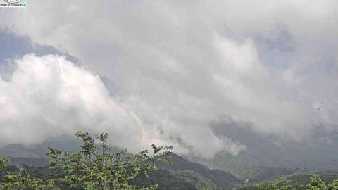
The forested flank and its ravines
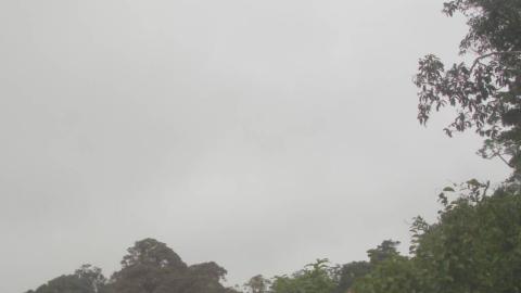
The camera stands in Alotenango, a town at the foot of Fuego and its neighbour Acatenango, and looks up the volcano's green lower slopes. The pale scars running down the flank are ravines cut by lahars, the mudflows that heavy rain sends down from the summit after ash has piled up there.
Cloud usually builds over the top by mid-morning, so the summit shows best at dawn. The image is replaced every few minutes, with the time in the corner.
The 2018 disaster
On 3 June 2018 a powerful eruption sent pyroclastic flows, fast avalanches of hot gas and rock, down the southern ravines of the volcano. They buried villages in their path and killed hundreds of people, making it Guatemala’s deadliest eruption in decades. Guatemala’s volcano observatory, INSIVUMEH, now watches Fuego closely and issues special bulletins when its activity rises.
When to watch Volcán de Fuego
Fuego is active on most days, but the summit is often hidden by cloud from late morning in the rainy season, from May to October. Early mornings bring the clearest views; after dark, the glow of each explosion is easy to spot. Guatemala is six hours behind UTC all year.
Around Fuego
Antigua Guatemala, the colonial capital at the foot of the volcanoes, is a UNESCO World Heritage site, with cobbled streets and ruined churches damaged by earthquakes over the centuries. Fuego shares a massif with Acatenango, and the cone of Agua rises on the other side of the valley. Pacaya, near Guatemala City, is another active volcano that can often be hiked.
Visiting Volcán de Fuego
The most popular way to see Fuego erupt is to hike up neighbouring Acatenango, 3,976 m (13,045 ft) high, and spend the night on its slopes, facing Fuego across a saddle. The climb is steep and cold at the top; go with a registered guide.