
What you can see on the Poás cams
The cams look straight down into the main crater and its lake, called Laguna Caliente, and at the volcano from its southwest flank and its slopes. They refresh every minute or so. When Poás is active, small phreatic eruptions, bursts of steam, mud and rock, can shoot out of the lake with no warning.
Laguna Caliente, the acid lake in the crater
The camera sits on the rim of the main crater and looks straight down into it: grey, banded walls of old lava and ash dropping to a milky turquoise lake on the floor. That lake, Laguna Caliente, is one of the most acidic natural lakes in the world, and it has dried out completely during eruptions — most recently in 2017 — before filling again. Steam and low cloud drift across it, and the visitors on the viewpoint at the bottom right give the scale.
The crater is clearest early in the morning; by late morning cloud usually pours in over the rim.
The summit ridge and its steam plume from the southwest
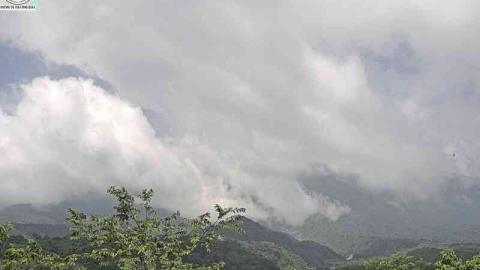
Set back on the south-west side of Poás, this camera takes in the whole summit area instead of looking into the crater. A band of forest fills the foreground, with a red-and-white mast at the bottom right, and behind it rises the long green summit ridge, with a bare reddish scar towards its right-hand end. The crater lies behind that ridge, so what this view shows is what comes out of it: steam and gas billowing up over the rim, sometimes as a tall plume that climbs into the clouds.
It is the Poás camera to check for the height and drift of the plume. Each image carries its date and time along the bottom.
The broad slopes of Poás above houses and farmland
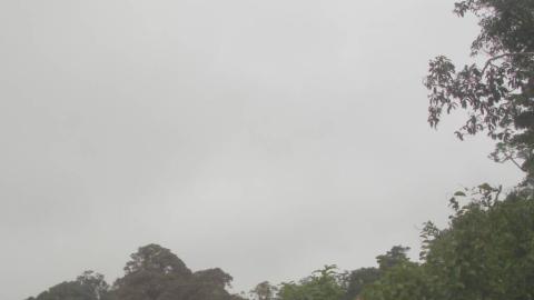
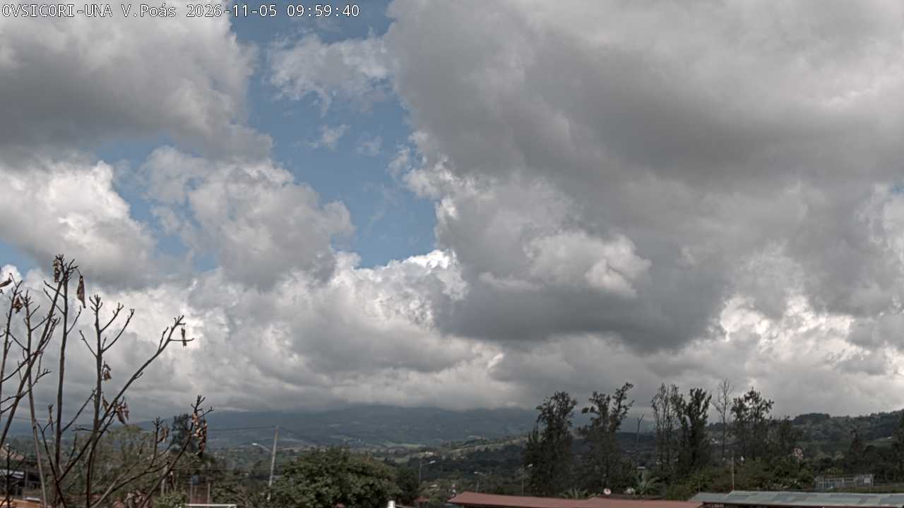
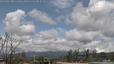
Lower down than the other Poás cams, this one looks up at the volcano from among the houses and trees of Chahuites. Red and grey roofs run along the bottom of the frame, a leafless tree stands on the left and a row of tall trees on the right. Behind them the mountain stretches across the whole horizon as a long, gentle ridge rather than a peak, its slopes a patchwork of forest and pasture. The crater cannot be seen from here, and cloud often rests along the top of the ridge.
This is the side of Poás that people live on: the dairy and strawberry country of its lower slopes, with roadside stalls selling both.
Recent activity
Poás had a major phase of eruptions in 2017 that damaged the visitor area and closed the national park for more than a year. It has gone through several active periods since, with ash emissions and new closures, as well as long spells when the lake almost disappears. OVSICORI’s reports and the activity box on this page give the current picture.
When to watch Poás
The crater is clearest early in the day; from late morning, cloud often fills it completely. The dry season, from December to April, brings the most clear days. Costa Rica is six hours behind UTC all year.
Around Poás
The slopes of Poás are dairy and strawberry country, with roadside stalls selling both. La Paz Waterfall Gardens, on the road east of the volcano, combines several waterfalls with wildlife exhibits. Below, the towns of Grecia and Sarchí are known for the brightly painted oxcarts that are part of Costa Rica’s cultural heritage recognised by UNESCO.
Visiting Poás
Poás Volcano National Park is about an hour from San José. Tickets must be bought online in advance for a set time slot, and visits to the crater viewpoint are short because of the gases. Morning is best: the crater often fills with cloud by late morning.