GeoNet volcano cams
New Zealand’s geological hazard monitoring system, run by Earth Sciences New Zealand and the Natural Hazards Commission.
GeoNet is New Zealand's geological hazard monitoring system, running since 2001 as a partnership between Earth Sciences New Zealand, the Natural Hazards Commission Toka Tū Ake and Land Information New Zealand. It watches earthquakes, volcanoes, landslides, tsunami and the slow ground movement that precedes large earthquakes, and it publishes everything openly, under a Creative Commons Attribution licence.
An unusual amount of volcano in one country
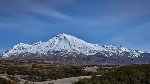
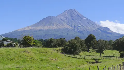
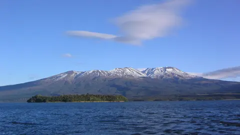
Most of it is concentrated in the Taupō Volcanic Zone, a band of rifting crust across the North Island that produces almost every kind of volcano there is: the cones of Ruapehu and Tongariro, the geothermal fields around Rotorua, the island of Whakaari out at its northern end, and calderas large enough that visitors at Lake Taupō rarely realise they are inside one. Taranaki is the exception, standing alone on the west coast some 130 kilometres clear of the zone. GeoNet covers them all with seismometers, GPS, gas measurements and cameras that send a new image every ten minutes.
Whakaari, watched from a distance
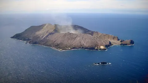
Whakaari / White Island is an active volcano in the sea, 48 kilometres off the Bay of Plenty, and until December 2019 tour boats landed on it daily. The eruption of 9 December that year killed 22 people, and the daily landings ended. The cameras — on the island and on the mainland opposite — are how most people see it now.
The alert levels
GeoNet sets the Volcanic Alert Level for each New Zealand volcano on a scale from 0 to 5, together with a written bulletin explaining the reasoning. The level shown on each page here is the official one.
Volcanoes with GeoNet cams
GeoNet in numbers
- Cams
- 9 cams · 4 places · New Zealand
- How you watch them
- 9 as still images (refreshed every 10 minutes)
- Right now
- 9 of 9 broadcasting
- Terms
- CC BY 3.0 NZ
Website: geonet.org.nz.