What you can see on the Whakaari / White Island cams
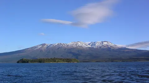
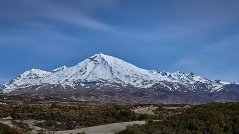
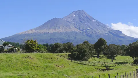
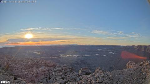
The cams are on the mainland coast, at Whakatāne and on the East Cape. From there the island appears on the horizon with its steam plume, which grows, shrinks and changes colour with the activity of the crater. The images refresh every ten minutes.
The island and its plume across the Bay of Plenty
From the town of Whakatāne, about 50 km away on the mainland, the camera looks north-north-east across open sea to Whakaari. The island sits low on the horizon, dark against the sky, and the steam plume from its crater rises from the middle of it, often drifting with the wind into a long trail.
At this distance the island itself shows little detail. What the camera is good for is the plume: whether there is one, how high it climbs and whether it turns grey with ash. Haze off the sea can hide the island on humid days; early morning, with the sun to the east, usually gives the clearest outline.
Whakaari from the East Cape coast
From Te Kaha on the East Cape, about 50 km south-east of the island, the camera looks north-west across the Bay of Plenty. From this side Whakaari shows a different profile from the one seen at Whakatāne: a higher point on the left, sloping down to the right, with the plume rising from the crater behind the ridge.
Having two cameras on opposite sides of the bay means the plume can usually be read from at least one of them, and comparing the two shows which way the wind is carrying it.
The 2019 eruption
On 9 December 2019 a sudden explosion hit the crater floor while 47 people were visiting the island. Twenty-two of them died. The island, privately owned, has been closed to visitors since, and GeoNet’s monitoring now relies mostly on these mainland cameras, satellite data and flights.
Whakaari’s Volcanic Alert Level often sits at 1 or 2, meaning minor to moderate unrest, and small eruptions of steam and ash have happened since.
When to watch Whakaari / White Island
Calm, clear mornings show the plume best. New Zealand is 12 hours ahead of UTC in winter and 13 during daylight saving time.
Around Whakaari
Whakatāne, on the mainland, is a small town at the mouth of the Whakatāne River, with beaches and walking tracks along the coast. Closer to shore lies Moutohorā, or Whale Island, another volcanic island protected as a wildlife sanctuary. Inland, the Rotorua area is full of geothermal parks, and Mount Tarawera erupted in 1886, destroying the famous Pink and White Terraces.
Visiting Whakaari / White Island
Landing on Whakaari has not been possible since the 2019 eruption. The island can only be seen from the air or from the sea, and on clear days its steam plume is visible from the beaches of the Bay of Plenty.