What you can see on the Taranaki Maunga cams
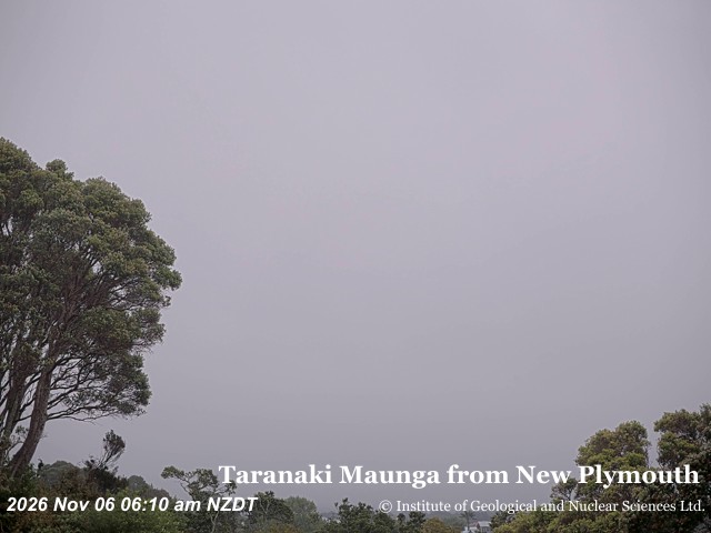
The cam looks at the cone and refreshes every ten minutes. Most of the time it shows the weather: the mountain makes its own, and clouds can wrap the summit within minutes even on a fine day.
The snow-capped cone above New Plymouth
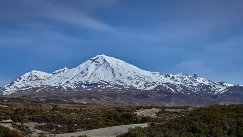
From New Plymouth, about 30 km to the north, the camera looks across the treetops at the edge of the town to Taranaki, rising alone on the skyline. On a clear day the cone shows its almost perfect symmetry, white with snow from the summit down its upper slopes, with the broad lower flanks fading into the farmland; a tall tree frames the left of the picture.
Taranaki makes its own weather, and cloud can cap the summit within minutes on an otherwise fine day. A clear spell is worth catching: on those days the whole cone stands out from base to summit.
A dormant volcano
Taranaki last erupted around 1790 and has been quiet since, but it has erupted many times in the last few thousand years, and GeoNet monitors it. Its past collapses sent huge debris avalanches across the surrounding plains, which form much of today’s farmland.
In 2025 a New Zealand law recognised the mountain and its surrounding peaks as a legal person, Te Kāhui Tupua, and its national park took the name Te Papakura o Taranaki.
When to watch Taranaki Maunga
Early mornings and evenings are most often clear. The summit is snow-covered for much of the year, which makes sunrise views particularly striking.
Around Taranaki
New Plymouth, on the coast north of the mountain, has a long coastal walkway with views of it. On the northern slopes, the Pouakai Tarns reflect the cone in still water on calm mornings, one of the best-known views in New Zealand. Dawson Falls, on the southeast side, and Surf Highway 45 along the coast are other favourite spots.
Visiting Taranaki Maunga
Several roads climb to the edge of the national park, and a tough day hike leads to the summit in summer. Weather on the mountain changes fast and has caught out many walkers, so check the forecast and go well equipped.