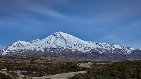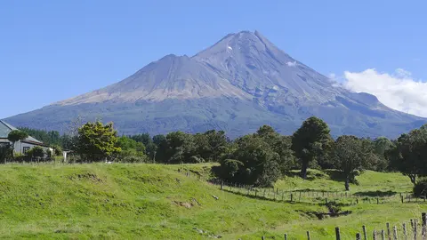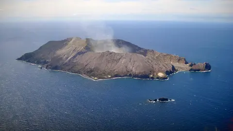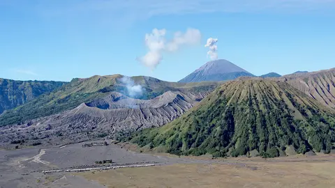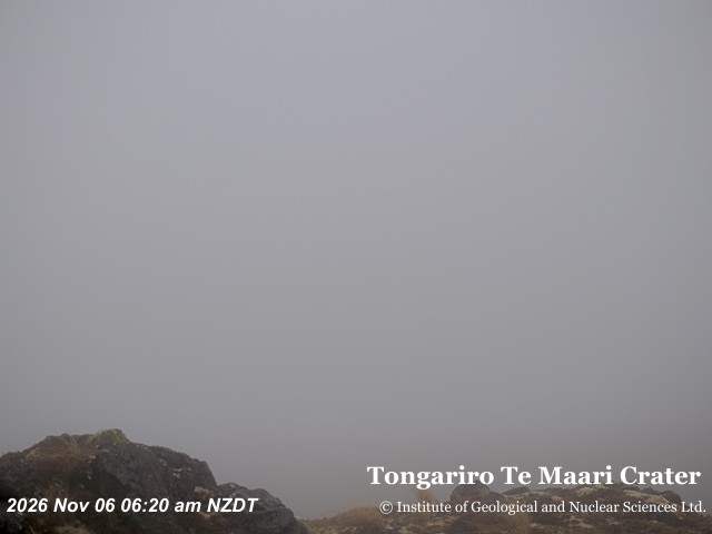

What you can see on the Tongariro and Ngāuruhoe cams
The cams look at the Te Maari craters on Tongariro’s northern flank and at the cone of Ngāuruhoe, with a view that frames both summits together. Steam from the Te Maari craters and from Red Crater, along the hiking route, is often visible. The images refresh every ten minutes.
Eruptions of Tongariro and Ngāuruhoe
The Te Maari craters erupted in August 2012, after more than a century of quiet, throwing blocks of rock across the Alpine Crossing track and damaging a hut. A smaller eruption followed in November. Ngāuruhoe erupted frequently during the 20th century, last in 1975. Its perfect cone played Mount Doom in the Lord of the Rings films.
Tongariro National Park was New Zealand’s first national park, established in 1887 after the Ngāti Tūwharetoa chief Te Heuheu Tūkino IV gifted the summits to the nation.
When to watch Tongariro and Ngāuruhoe
The Crossing is best in summer, from December to March. In winter the summits are snow-covered and the hike is for experienced mountaineers only.
Around Tongariro
The Alpine Crossing passes Red Crater and the brightly coloured Emerald Lakes and Blue Lake, and on clear days gives views of Ruapehu and Lake Taupō. The lake itself fills the caldera of one of the most violent eruptions of the last 5,000 years, around the year 232. Nearby, Huka Falls and the geothermal areas around Taupō are easy to visit.
Visiting Tongariro and Ngāuruhoe
The Alpine Crossing is 19.4 km (12 mi) long and takes most walkers six to eight hours. Shuttles run between the two ends of the track. Check the mountain weather and the Volcanic Alert Level before setting out.