
What you can see on the Popocatépetl cams
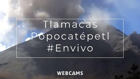
The livestreams watch the volcano from its northern side, close to the crater and from the high saddle it shares with Iztaccíhuatl, and from the plains of Puebla. Together they catch nearly every exhalation of steam, gas and ash, which can happen many times a day.
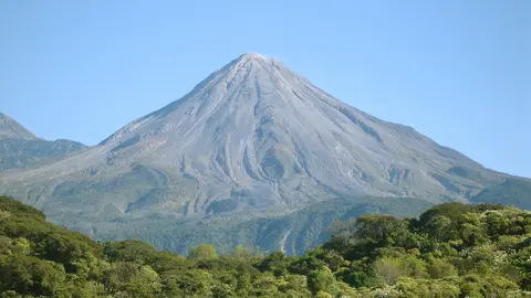
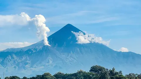
The cone of Popocatépetl and the plumes above it
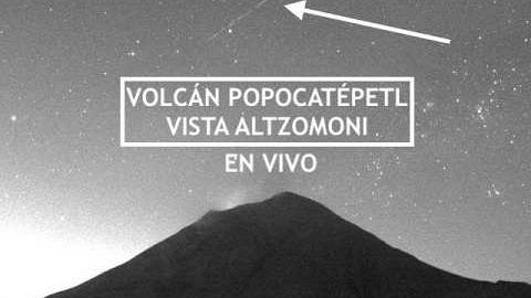
From Altzomoni, high on the saddle that Popocatépetl shares with Iztaccíhuatl, this livestream sees the volcano from the side. The cone fills the lower part of the frame, dark on its lower slopes, with its right-hand flank running down towards the edge of the picture and a patch of dry high grassland in the bottom right corner. Above it there is a great deal of sky, and that is what makes this the view for following a plume: steam and ash leaving the crater climb clear of the summit and drift off with the wind, even when cloud sits on the cone.
The logos of Mexico's civil protection agencies run along the bottom, with the date and local time across the top.
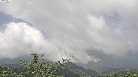
Village rooftops at the foot of the volcano
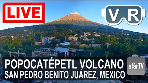
This 4K livestream is set on a flat rooftop in a village on the Puebla side of the volcano, and its very wide lens bends the edges of the picture. In the foreground are the roof terrace and its low wall, with tin roofs, a brick wall and washing hung out to dry; beyond them, houses painted blue, white and cream are scattered among trees and small fields. Behind the village, wooded foothills climb to the volcano, which rises across the top of the frame with bare upper slopes above the forest and its summit often hidden in cloud.
Of the Popocatépetl cams, this is the one that shows the mountain as the people who live under it see it, above the roofs and the washing lines.
A volcano awake since 1994
After decades of quiet, Popocatépetl came back to life in 1994 and has not really stopped since. Its activity comes in pulses: new lava domes grow in the crater and are destroyed by explosions, sending ash towards the surrounding towns and sometimes closing the airports of Mexico City and Puebla. Mexico’s disaster prevention agency, CENAPRED, publishes a volcanic traffic light, and the area within 12 km (7.5 mi) of the crater is usually off-limits.
When to watch Popocatépetl
The dry season, from November to April, brings the clearest skies, especially in the early morning. At night the cams can show the glow of incandescent rocks thrown out by explosions.
Around Popocatépetl
Paso de Cortés, the high pass between Popocatépetl and Iztaccíhuatl, takes its name from the Spanish conquistador who crossed it in 1519, and is the starting point for hikes on Iztaccíhuatl. On the plains to the east stand Cholula, whose Great Pyramid is the largest pyramid in the world by volume, and the colonial city of Puebla. The 16th-century monasteries on the volcano’s slopes are a UNESCO World Heritage site.
Visiting Popocatépetl
Climbing Popocatépetl has been forbidden since it came back to life in 1994. Visitors head instead for Paso de Cortés, inside the national park, for views of both volcanoes and for the trails on Iztaccíhuatl. Access depends on the current alert level.