What you can see on the Teide cams
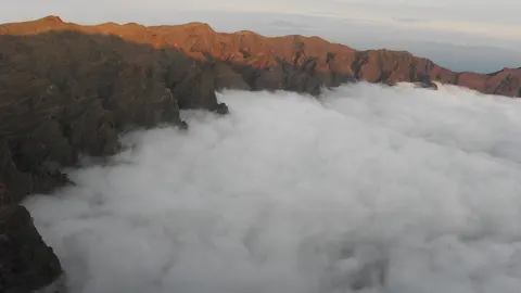
The cams belong to AEMET, the Spanish State Meteorological Agency, at its Izaña Atmospheric Research Center, on the ridge east of the national park. One looks west to the peak of Teide, and the others look north and east. Very often the observatory stands above a sea of clouds carried by the trade winds, with only the highest peaks showing.
The Orotava valley below the peak
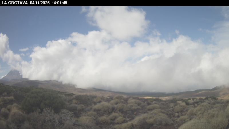
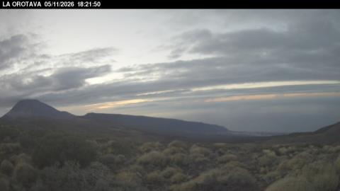
The camera stands among the summit broom at the Izaña research station, about 2,370 m up on the ridge east of the national park, and looks west. The peak of Teide rises on the left, often softened by haze in the afternoon, and below it the Orotava valley runs down to the north coast and the sea. On most days a band of cloud lies against that coast, held there by the trade winds, while the summit stays in sunshine above it.
This is the view to check whether the peak is clear. Each frame carries the time it was taken across the top.
Izaña observatory and the north of Tenerife
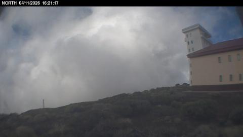
Here the camera looks north across the summit scrub, with the white tower and red-roofed building of the observatory filling the right of the frame. Beyond the ridge the land drops towards the Atlantic, and on many days what fills the view is not the ocean but the sea of clouds: a flat white layer pushed against the north face of Tenerife by the trade winds, with the station standing clear above it. The wide lens bends the edges of the picture.
The east coast of Tenerife from the ridge
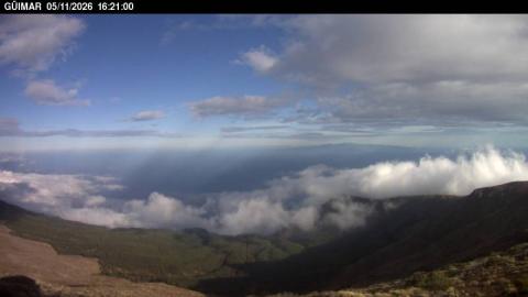
Facing east from Izaña, this is the widest of the three views. The slope falls away into the Güímar valley, with the towns of the east coast and the ocean beyond, and the ridge of the island curving off to the right. Low cloud often lies along the shore far below.
Because it faces east, it is the camera that catches the sun coming up over the clouds, and the one where the light changes most through the day.
A giant volcano
Teide and its neighbour Pico Viejo rise from Las Cañadas, a caldera about 16 km (10 mi) wide. Teide’s last summit eruption took place around the 9th century, but Tenerife has had several eruptions since, most recently at Chinyero in 1909. The Spanish National Geographic Institute (IGN) and the Volcanological Institute of the Canary Islands (INVOLCAN) monitor the island’s earthquakes and gases.
When to watch Teide
Early mornings often show Teide sharp and clear above the clouds, and snow can cover the peak in winter. The Canary Islands follow Western European Time: UTC in winter and one hour ahead in summer.
Around Teide
Teide National Park, a UNESCO World Heritage site since 2007, is the most visited national park in Spain. The rock formations of Roques de García are among its most photographed views. The Teide Observatory, next to Izaña, is one of the world’s leading sites for observing the Sun.
Visiting Teide
A cable car climbs to 3,555 m (11,663 ft). The last stretch to the summit needs a free permit that should be booked well in advance, and the altitude and cold winds can make the top hard going, even in summer.