What you can see on the Reykjanes Peninsula cams
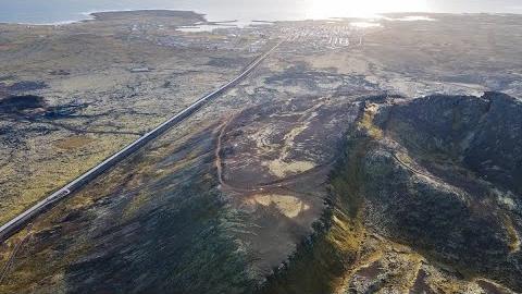
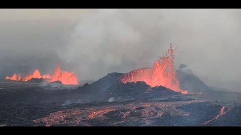
The livestreams cover the Sundhnúkur crater row and the area around Grindavík, from wide views that take in the whole area to close-ups of the fissures from the hill Hagafell. Between eruptions the landscape of fresh black lava, steaming in places, is striking in itself.
Three cameras and a live seismograph in one frame
The national broadcaster RÚV streams this as a mosaic: three cameras around the eruption area and, in the fourth corner, a live seismic chart from the Icelandic Met Office. Vogastapi shows the moss-covered lava plain to the north, Þorbjörn looks out over the flows from the mountain above Grindavík, and Sýlingarfell watches the ridge where the Sundhnúkur fissures open.
Between eruptions the chart is the part to watch: when bright vertical streaks crowd across it, the ground is shaking, which is often the first sign that magma is on the move.
Grindavík and the lava at its edge
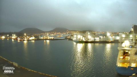
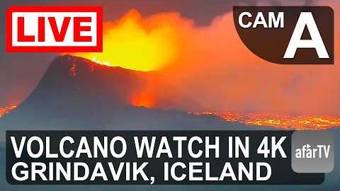
This camera does not hold one view: it moves between several points around the eruption area, so what is on screen changes every few minutes. One of its stops looks down on Grindavík, where black lava from the eruptions comes right up to the edge of the houses; others follow the gravel roads and moss-covered lava fields north of the town. It is streamed in 4K.
Grindavík was evacuated in November 2023, and in January 2024 lava crossed into the town itself and burned three houses.
The lava plain from Þorbjörn
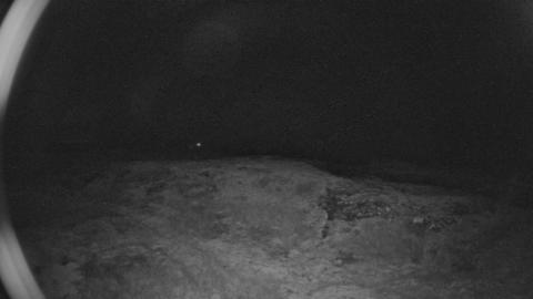
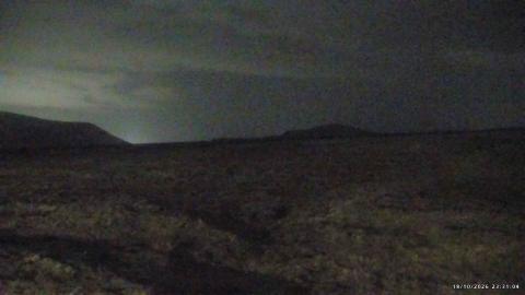
From Þorbjörn, the mountain that rises behind Grindavík, the camera looks across a wide plain of dark lava to the low hills on the horizon, with rough outcrops of older lava filling the bottom of the frame. The view takes in a large part of the eruption area, which is why it was put here: a new fissure, with its glow at night and its plume by day, would show from this point.
Grey weather often flattens the light; on clear days the view reaches far across the peninsula.
Moss-covered lava north of Grindavík
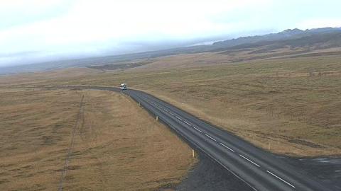
From the hill Hagafell, just north of Grindavík, the camera looks across a broad field of old lava softened by grey-green moss, towards the low cones of the Sundhnúkur crater row on the horizon. It stands close to where the recent eruptions broke out, so on an eruption day it is one of the nearest views of the fissures.
The moss is the clue to age: it takes decades to cover a flow, so the lava under it is far older than the bare black flows a few kilometres away.
How these eruptions work
Magma collects in a reservoir a few kilometres under the Svartsengi area, and the ground above it rises by several centimetres. When the pressure is high enough, magma breaks out along the crater row. Each eruption opens as a fissure up to a few kilometres long, with curtains of lava fountains, then narrows to a few vents within hours or days. Earthworks were built to steer the lava away from Grindavík, the Svartsengi power plant and the Blue Lagoon, although lava reached the edge of Grindavík in January 2024 and destroyed several houses.
The Icelandic Met Office tracks the uplift and usually warns when a new eruption is becoming likely.
When to watch Reykjanes Peninsula
The glow of Icelandic eruptions is at its best in darkness, which in December lasts about 20 hours a day and in June hardly exists. Iceland keeps UTC all year.
Around the eruption area
The Reykjanes Peninsula is a UNESCO Global Geopark. Nearby sights include the Blue Lagoon, the geothermal area of Gunnuhver and a footbridge over a fissure between the North American and Eurasian plates. Keflavík International Airport is about 20 km (12 mi) away, so many visitors pass within sight of the eruptions without knowing it.
Visiting Reykjanes Peninsula
Access to the eruption area and to Grindavík is controlled by the police and changes with the situation. Never walk on new lava, and keep upwind of the gas.