U.S. Geological Survey volcano cams
Runs the five U.S. volcano observatories, including the Hawaiian Volcano Observatory, and their network of webcams and livestreams.
The U.S. Geological Survey runs the Volcano Hazards Program, which watches the 161 volcanoes in the United States and its territories that are considered potentially active. The work is split between five observatories, and their webcams are published as works of the federal government — public domain, free for anyone to use.
Five observatories, each born from an event
The Hawaiian Volcano Observatory is the oldest in the country, founded in 1912 on the rim of Kīlauea, and it has watched the volcano almost without interruption since. The Cascades Volcano Observatory was created in 1980, in the months after the eruption of Mount St. Helens, and carries the name of David A. Johnston, the geologist who was killed by it. The Alaska Volcano Observatory followed in 1988, the Yellowstone Volcano Observatory in 2001, and the California Volcano Observatory completes the set.
What the cameras are for
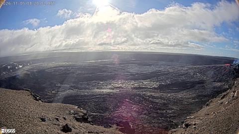
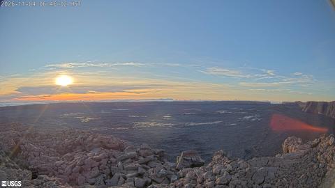
These are working instruments, not scenic views. They sit alongside seismometers, gas sensors and ground-deformation stations, and they answer the question a graph cannot: is there a plume, how high, and which way is it going. Some are thermal, which lets them see hot rock through fume and darkness.
The alert levels on this site
The alert level and aviation colour code shown on every US volcano page here come straight from the USGS, and this site re-reads them from its public feed several times an hour.
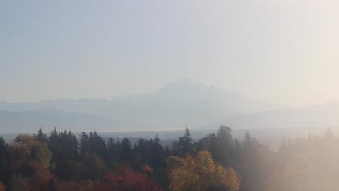
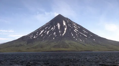
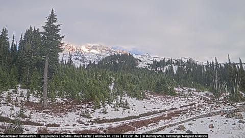
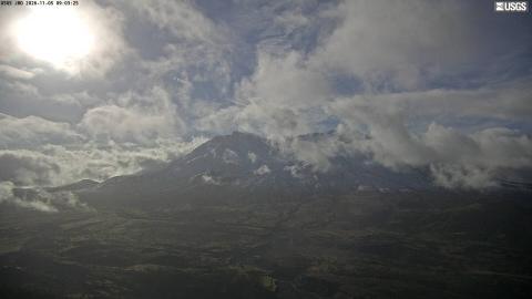
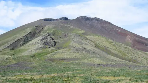
Volcanoes with U.S. Geological Survey (USGS) cams

U.S. Geological Survey (USGS) in numbers
- Cams
- 25 cams · 11 places · United States
- How you watch them
- 3 as live video · 22 as still images (refreshed every 5 minutes)
- Right now
- 24 of 25 broadcasting
- Terms
- Public domain (U.S. Government work)
Website: usgs.gov/programs/VHP.