What you can see on the Rainier cams
The cams surround the mountain. From the south they show the summit over meadows that are full of wildflowers in late summer and buried under several metres of snow in winter; from the west, the steep Mowich Face and the river valleys that are watched for lahars; from the north-east, the side of the Emmons Glacier, the largest in the contiguous United States.
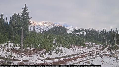
The summit above the Paradise meadows
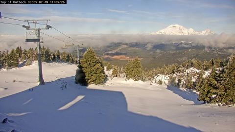
The camera stands at Paradise, about 1,650 m up on the south side, and looks north across the subalpine meadows to the summit. Dark spires of subalpine fir frame the view, and the paved path and low stone wall in the foreground belong to the trails that start by the visitor centre. In autumn the huckleberry on the slopes turns deep red, and the glaciers of the upper mountain shine above the treetops.
The line along the bottom of the picture remembers Margaret Anderson, a park ranger killed on duty in the park in 2012.
The Mowich Face against the morning sky
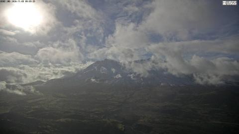
From a monitoring station about 25 km west-north-west of the summit, the camera looks straight at the Mowich Face: a steep wall of dark rock ribs and hanging ice above the North and South Mowich glaciers, with the broad snow dome of the summit rising on the right.
It faces east-south-east, so at dawn the mountain stands in shadow against an orange sky and the glaciers look blue. The light reaches the face from midday, and in the evening it catches it straight on, which is when the crevasses and ice cliffs show best.
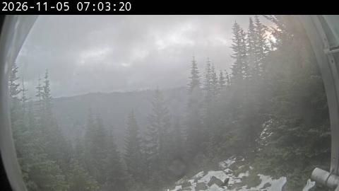
Up the Puyallup valley to the summit
This camera is part of the network that watches the Puyallup valley for lahars, the mudflows of ice, rock and water that Rainier can send down its rivers without erupting. From a station about 14 km west of the summit, it looks east through a gap in the firs and hemlocks to the mountain, which rises above a long forested ridge.
The curved edge of the protective dome around the lens frames the picture, and the image is small but clear. Mornings put the sun behind the mountain; the snowfields read best from midday on.
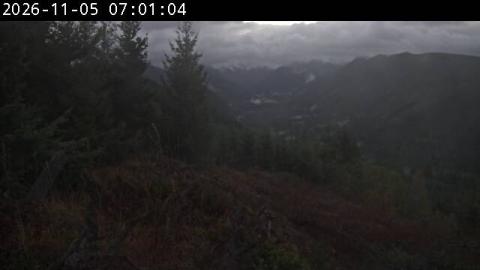
Over the Mowich valley to the north-west side
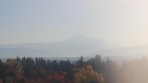
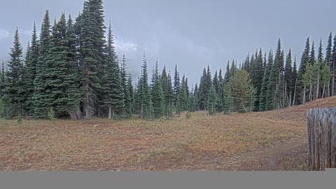
From a ridge about 19 km north-west of the summit, above the Mowich valley, the camera looks east-south-east across dark, forested ridges to the mountain. Silver snags and fallen logs from old forest fill the foreground, and the summit lifts above everything else on the skyline.
Like the other cameras on this side, it looks into the morning sun, so the first hours of the day show a hazy silhouette. In the afternoon the light comes round onto the north-west face and its glaciers. It belongs to the same lahar-watching network as the Puyallup camera.
Why it is watched closely
Rainier last erupted in the 1800s, but its greatest hazard doesn’t need an eruption. Its ice and hydrothermally weakened rock can collapse into lahars: fast mudflows that follow river valleys for tens of kilometres. The deposits of past lahars lie under towns such as Orting and Puyallup, and a network of sensors and sirens is in place to warn them.
When to watch Rainier
July to September gives the best chance of a clear summit. Early morning is usually clearest; afternoon clouds often cap the mountain, sometimes as smooth, lens-shaped lenticular clouds that make for a striking view in themselves.
Around Rainier
Paradise, on the south side, is the park’s busiest area, with the Skyline Trail climbing above the meadows towards the glaciers. Sunrise, on the northeast side, is the highest point in the park that can be reached by car, at about 1,950 m (6,400 ft). The Wonderland Trail circles the whole mountain in about 150 km (93 mi). Seattle is about 95 km (60 mi) away.
Visiting Rainier
Mount Rainier National Park is open all year, but most of its roads close in winter apart from the one to Paradise. Summer brings the wildflowers and most visitors. Climbing to the summit needs a permit and serious mountaineering experience.