What you can see on the Mount Baker cam
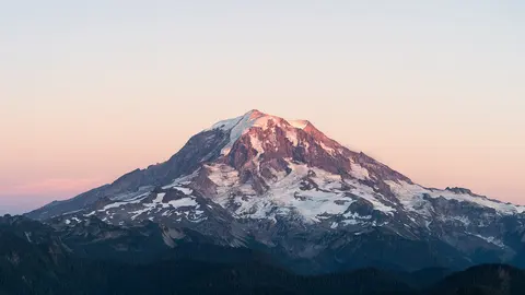
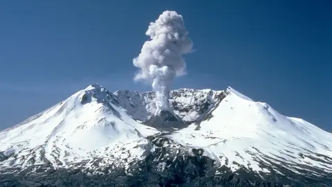
A long view of the whole mountain, which suits it: what changes from day to day is the snow line, the shape of the cloud caught on the summit, and whether the steam from the crater shows at all. In the clear spells of late summer the glaciers stand out as separate tongues down the flanks; from November the upper mountain turns white and stays that way well into July.
The whole cone from the lowlands, 60 km away
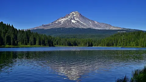
From a school in the lowlands of Whatcom County, about 60 km west of the mountain, the camera looks east over a line of conifers to the full cone of Mount Baker, with the lower ridges of the North Cascades in front of it. The picture is very large, so the summit can be studied in detail when the air is clear.
At that distance the weather decides everything. The morning sun rises behind the mountain and turns it into a pale silhouette in the haze; the snow and glaciers stand out best in the afternoon and evening, when the light falls on the west face.
Quiet, but not cold
Baker's last eruption was around 1880 and it was a mild one. What it does instead is steam: in 1975 the fumaroles inside Sherman Crater, just south of the summit, increased sharply, melting ice and prompting years of close monitoring and the draining of a reservoir below. Nothing came of it, and that episode is now the textbook example of volcanic unrest that does not lead to an eruption. The crater has kept venting ever since.
When to watch Mount Baker
Washington is on Pacific time, seven hours behind UTC in summer and eight in winter. July to September is the clear season and by far the best chance of seeing the mountain at all; the rest of the year the valley cameras are often looking at cloud. Early morning light comes from behind the camera, which is when the cone is sharpest.
Around Mount Baker
The Mount Baker Ski Area sits on the shoulder of neighbouring Mount Shuksan, and the road to Artist Point climbs to 1,500 metres for the classic view of both. Bellingham is the nearest city, an hour west, and the North Cascades National Park begins just to the east.
Visiting Mount Baker
Climbing it is a glacier route needing rope and crampons, usually done over two days from the Easton or Coleman-Deming approaches. Without that, the Heliotrope Ridge trail gets walkers to the edge of the ice in a few hours. The road to Artist Point is under snow most of the year and typically opens in July.