What you can see on the Mount Usu cams
Usu is not a neat cone but a lumpy skyline of separate summits and domes: each eruption of the last century pushed up a new dome or crater, and they are all still there. Seen across Lake Tōya, the mountain can be a dark outline against the morning glare, while later in the day the light moves round and the slopes and domes become easier to read.
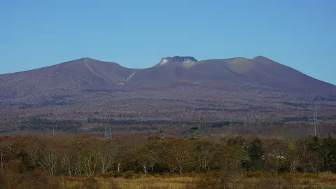
A cluster of domes above the wooded shore
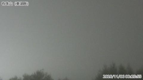
From the east side of Lake Tōya the camera looks across at Mount Usu, which from here is a broad, uneven mass rather than a single cone. A small rounded dome stands apart on the left, the main bulk rises to a high point in the middle, and the ridge slopes away to the right. Treetops frame the bottom corners, and the sky takes up more than half of the picture.
Usu is only 733 metres high, but it has erupted four times since 1910, and each eruption pushed up a new dome or crater. That is why its skyline is so lumpy, and why the Japan Meteorological Agency watches it from more than one side of the lake.
Lake Tōya and Usu's skyline against the light
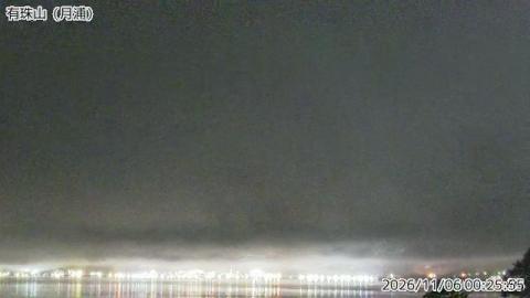
Tsukiura is on the western shore of Lake Tōya, and from there the camera looks over open water to Mount Usu on the far side. Unlike the view from the east, the lake itself runs along the bottom of the frame. Above it the mountain stretches almost the full width, a row of separate summits rather than one peak, with the highest towards the left. A branch edges into the bottom right corner.
In the morning the camera looks towards the sun, so the mountain shows as a dark outline with glare in the sky above it. Later in the day the light moves round, and the slopes and domes become easier to read.
A mountain that grew in a wheat field
In 1943 the ground under a field near the town began to swell. Over two years it rose more than 150 metres and became a new lava dome, now called Shōwa-Shinzan — and because the war made official surveys impossible, the local postmaster, Masao Mimatsu, recorded its growth himself by sketching its outline against his window frame week after week. That record, the Mimatsu diagram, is still used to teach how a dome grows.
The lesson was put to work in 2000. When Usu started shaking, the signs were read early and about 16,000 people were moved out before the first explosion. Nobody died. The area is now the Tōya-Usu UNESCO Global Geopark, and the ruined buildings of 2000 have been left standing as an open-air exhibit.
When to watch Mount Usu
Japan is nine hours ahead of UTC all year. Summer and early autumn give the clearest air; winter brings heavy snow off the Sea of Japan and the mountain is often lost in cloud.
Around Mount Usu
Tōyako Onsen sits on the lakeshore below the volcano and is the base for everything here. A ropeway climbs Usu for the view over the crater and the lake, and Shōwa-Shinzan stands beside it, still bare and still steaming.
Visiting Mount Usu
The ropeway runs all year and reaches a walkway along the crater rim; the domes themselves are off limits. The geopark's visitor centre explains the eruption record, and the preserved ruins are a short drive round the shore.