What you can see on the Kusatsu-Shirane cams
Kusatsu-Shirane is a volcano of pale, bare crater walls streaked yellow, grey and white, with the acidic lake of Yugama hidden inside them, and of the broad, forested ridge that the hot spring town looks up to. Seen as a whole, the mountain is a quick check on the weather up top and on any plume rising above it. In autumn the slopes below turn rust and gold, and from late autumn to spring snow covers the summit.
The summit craters above the car park and rest house
This camera looks down across the summit area of Shirane from high ground. In the foreground is the parking area with its rest house, and a small pond on the left. Beyond them the ground rises to the pale, bare walls of the summit craters, with darker peaks behind. The turquoise lake of Yugama lies inside those walls, out of sight from this angle.
Yugama is one of the most acidic lakes in the world. The road over the volcano closes in winter and whenever the alert level rises, and this wide view shows the whole summit area at a glance.
Ridges fading into haze from the high ground
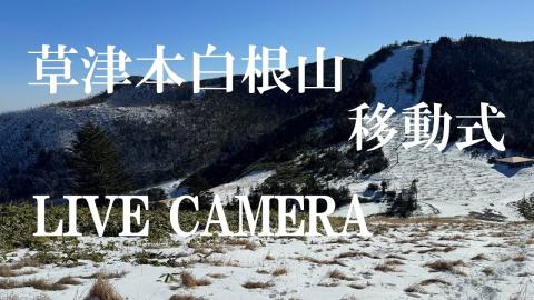
This movable camera belongs to the town of Kusatsu, and its caption calls it the Motoshirane disaster-prevention camera. Because it can be turned, the frame changes from one time to another. One of its views looks out from high ground over a slope of firs, with a road curving across a bare hillside on the left and, beyond, ridge after ridge of mountains fading into haze towards the horizon.
Motoshirane is the peak that erupted without warning in January 2018, next to a ski area. The camera is part of the town's watch on it, so its position can change from day to day.
Pale crater walls just below the summit
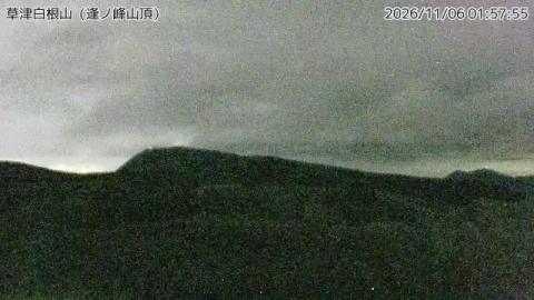
From the top of Ainomine, the Japan Meteorological Agency's camera looks straight at the crater area of Shirane, close enough for the walls to fill most of the frame. The ground in front is bare and pale, and the crater rims beyond are streaked yellow, grey and white, with no plants on them. Behind them a darker, wooded mountain rises against the sky, with more peaks fading away to the right.
Of the Kusatsu-Shirane views, this one shows the craters in the most detail; the acidic lake of Yugama lies inside them, just out of sight. Eruptions here are mostly steam-driven and can come with little warning, which is why the summit is watched this closely.
The volcano as the hot spring town sees it
From Kusatsu itself, this camera looks up at the volcano over a wooded hillside, with the roofs of a few buildings at the very bottom. The mountain shows as a broad, forested ridge with a patch of pale bare ground on its left side and a reddish, rocky knob towards the right, and the slopes below turn rust and gold in autumn. A Japanese caption along the bottom reads Kusatsu-Shirane (Kusatsu), with the time.
The summit craters are hidden behind this ridge, so the view is about the mountain as a whole and any plume rising above it. It is also a quick check on the weather up top before driving the road over the volcano.
Eruptions of Kusatsu-Shirane
Most eruptions of Kusatsu-Shirane are phreatic: bursts of steam, rock and ash driven by heated groundwater, which can happen with little warning. In January 2018, an unexpected eruption at Motoshirane, next to a ski area, killed one person and injured several others. Since then, parts of the summit area have been closed or restricted depending on the volcano’s activity.
When to watch Kusatsu-Shirane
Snow covers the summit from late autumn to spring. Japan is nine hours ahead of UTC.
Around Kusatsu-Shirane
Kusatsu Onsen, one of Japan’s most celebrated hot spring towns, is built around the Yubatake, a field of wooden channels that cool the steaming spring water. In traditional yumomi shows, performers stir the hot water with long wooden boards to bring its temperature down. On the other side of the volcano, the Shiga Kōgen highlands form a large ski and hiking area.
Visiting Kusatsu-Shirane
The road over the volcano between Kusatsu and Shiga Kōgen closes in winter and whenever the alert level rises. Check the Japan Meteorological Agency’s alerts and the town’s road information before driving up.