
What you can see on the Nikkō-Shirane cams
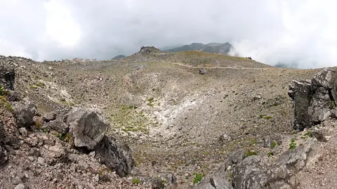
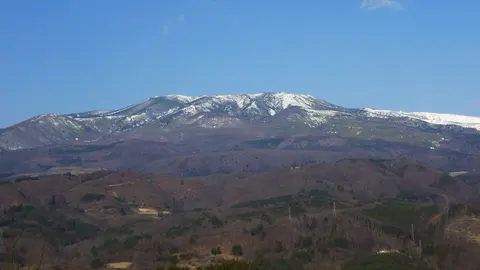
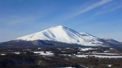
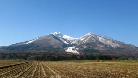
Nikkō-Shirane shows as a broad summit dome with a rocky crown, standing above lower, rounded ridges as the highest point of the skyline. Its look changes with the light, from a soft blue-grey shape in haze to a sharp, rocky top in clear sun. Snow lies on the upper slopes from November into May, and October brings red and gold to the trees below.
The rocky summit in the morning sun
This camera at Utagahama, on Lake Chūzenji, looks across to the ridge of Nikkō-Shirane, which runs along the bottom of the frame below a wide sky. The summit stands just left of centre, a squat, rocky top higher than the rest, with lower, rounded peaks on either side. Morning light warms the upper slopes while the nearer ridges stay in shade. The lake itself is out of the picture.
From here the summit shows its rocky crown more clearly than from Kamikogawa, where it is a softer shape in the haze. The last eruption, a steam explosion from the youngest dome, was in 1952.
A lone summit at the head of a narrow valley
From Kamikogawa, the camera looks up a steep-sided valley to the summit of Nikkō-Shirane, framed between a tree on the left and the dark valley wall on the right. The peak rises as a broad, rounded dome above lower, hazy ridges, and power lines cross the upper part of the sky. In the morning the mountain stands against the light as a blue-grey shape; the slopes are lit later in the day.
At 2,578 m, Nikkō-Shirane is the highest peak in Japan from the Kantō region northwards. Snow lies on the upper slopes from November into May, and the tree in front turns red and gold in October.
A volcano that made the lakes
The scenery around Nikkō was arranged by this volcano. Thick, slow lava flows from Keizukayama, the shield underneath the domes, came down and dammed the valleys to the north, creating Lake Yunoko and the Senjōgahara marsh. Lake Chūzenji itself was formed when Nantaisan, the neighbouring volcano, blocked the Daiya river; the water escapes over Kegon Falls, a 97 m drop that is one of the best known waterfalls in Japan. Every eruption recorded at Shiranesan between the seventeenth and twentieth centuries was a steam explosion from the youngest dome, the last in 1952. A mountain flower, the shirane-aoi, is named after the peak.
When to watch Nikkō-Shirane
Mid-October is the peak of the autumn colour around the lake, and the busiest time on the roads. Winter mornings are the clearest. Japan is nine hours ahead of UTC.
Around Nikkō-Shirane
Nikko National Park holds the Tōshō-gū shrine complex, the Irohazaka hairpin road up to the lake, and the Yumoto hot springs at the far end of the valley. Marunuma Kōgen, on the Gunma side, has a ropeway and a ski area.
Visiting Nikkō-Shirane
The ropeway from Marunuma leaves walkers about two hours below the summit. From the Tochigi side the route starts at Yumoto and is longer. Both are snowbound in winter.