What you can see on the Kuchinoerabujima cams
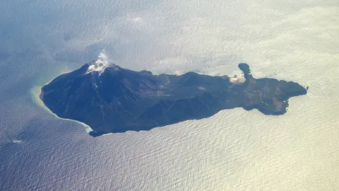
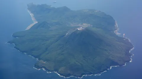
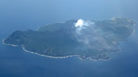
Kuchinoerabujima is a small, green island with a line of rounded summits at its centre, and a plume of steam or ash above that ridge is the sign to look for. This is one of the wettest corners of Japan, so cloud often hides the top; winter and early spring give the clearest days.
The summit ridge seen from Honmura
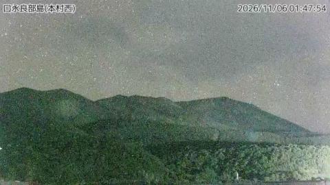
Above the main village of Honmura, on the west side of the island, the camera looks up at the volcano's summit ridge. A line of rounded tops runs across the skyline, the highest on the left, with a lower forested ridge and dark trees filling the middle and foreground. A thin strip of water shows at the bottom edge. A timestamp and the caption 口永良部島(本村西), west of Honmura, run along the top.
In the morning the camera faces into the light and the slopes go dark; they show more detail later in the day. In 2015 an eruption here sent a pyroclastic flow to the sea and the whole island was evacuated.
Evacuated, and then came back
The 2015 eruption gave very little warning. The flow reached the coast within minutes and the island was cleared the same day; nobody was killed. Most residents were away for months, and some for much longer, before the alert level came down enough to go home. The volcano erupted again in 2018 and 2019 and the pattern has repeated on a smaller scale since. Living there now means living with an alert level that moves, a designated shelter and a ferry that is also the evacuation route.
When to watch Kuchinoerabujima
Japan is nine hours ahead of UTC all year. This is a subtropical, very wet corner of the country — Yakushima next door is famous for raining most days — so clear frames are the exception. Winter and early spring are the driest; typhoons pass through between July and October.
Around Kuchinoerabujima
Yakushima, twelve kilometres east, is a UNESCO World Heritage site for its ancient cedar forest and is where the ferry comes from. Both islands are part of the Kirishima-Yaku National Park, and the Ōsumi Islands stretch north from here towards Kagoshima.
Visiting Kuchinoerabujima
A ferry runs from Yakushima a few times a week and takes under two hours. There is a hot spring on the coast and very little else in the way of facilities. Access to the upper mountain depends entirely on the alert level and is often closed outright.